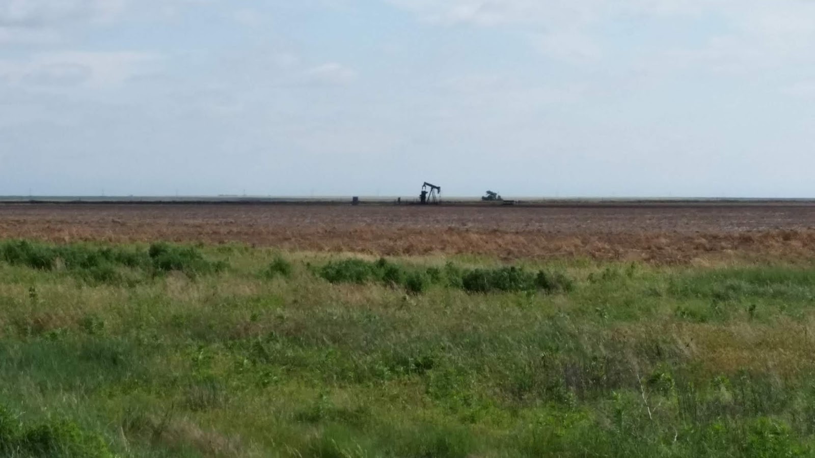
The countryside got flatter, then very flat, we found ourselves in the prairies, Kansas. It's a bit like the nullabor, in terms of flatness, but usually green, instead of grey. Very often, you see sipping bird type oil pumps in the field, as in this picture, I think they might only pump two or three barrels a day, but there are hundreds of them

We've been surprised by the reluctance of the locals to walk anywhere in the US. Here you see a 'drive up' ATM, and a 'drive in' pharmacy. We passed a 'drive in' restaurant to get to this spot, and we had to walk over grass and weeds to get to the (non drive in) restaurant where we were having dinner, because there was no footpath. This is very common, even in the bigger towns, no one walks anywhere, you feel quite threatened by the traffic when you do.

When we crossed out of Kansas into Missouri, the country began to change, and soon we were in hilly country, not huge snowy mountains as in the west, but rolling green hills. These are the Ozarks, home of the hillbilly, although such folk don't seem to be about these days. This picture is taken in the Mark Twain National Forest.

This is still in the Ozarks, a state park called Alley Springs, which has a great deal of information about pioneering in the eighteenth century, including this well maintained corn and wheat mill.

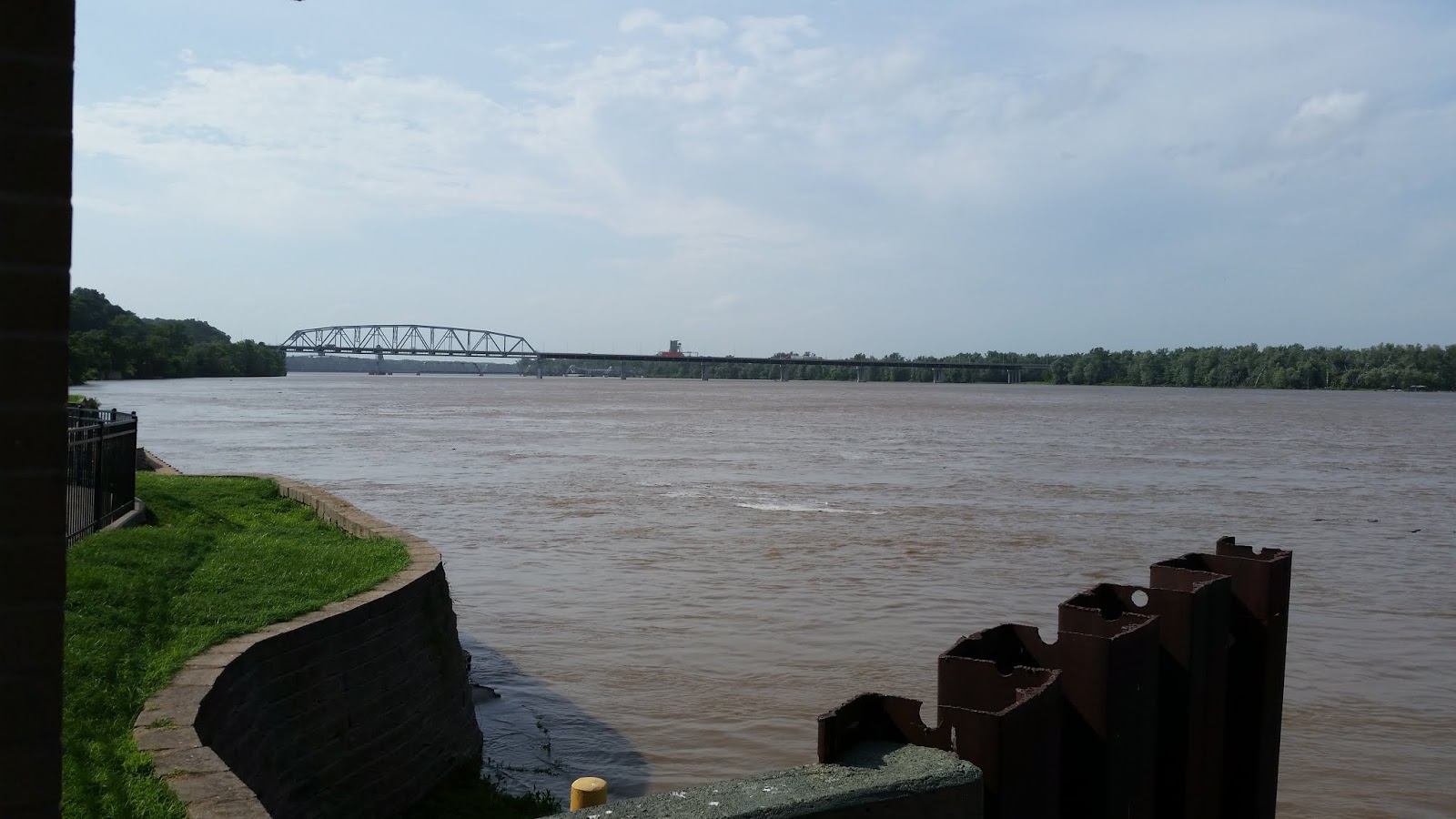
We crossed over the Mississippi at Chester, and thus into Illinois, as the river marks the border. I cheated with this picture, which is actually taken at Hannibal, Mark Twain's birthplace, a couple of days later.

We went north to Springfield, Illinois, to visit Abe Lincoln's house and his museum. Both are a big deal here, the museum in particular is really well done in an entertaining way, so much so that I didn't notice my 'museum heels', or that I had to pay an entrance fee. Such fees seem to be rare here, for places of national importance.
We also visited Abe's tomb, but I somehow didn't get a single picture for the blog, of any of this.
From Springfield, we went west to Hannibal on the Mississippi, as mentioned, all about Mark Twain. His name, or Tom Sawyer's, or Huck Finn's, is on most of the buildings in the town. This is a picture from Mark's steamboat captain days.

And this a picture from our room at the Rivers Edge Motel, Louisiana Missouri.

After a struggle with closed roads due to heavy rain around the river, we passed back into Illinois, then into Kentucky.
Kentucky is beautiful, hilly and green.
Once more, no pictures, my mind hasn't been on the job the last few days, my big brother Don, who has been unwell for a couple of years, suddenly became really unwell and passed away yesterday.
So, we're on the way home, last blog for this trip...
We've been surprised by the reluctance of the locals to walk anywhere in the US. Here you see a 'drive up' ATM, and a 'drive in' pharmacy. We passed a 'drive in' restaurant to get to this spot, and we had to walk over grass and weeds to get to the (non drive in) restaurant where we were having dinner, because there was no footpath. This is very common, even in the bigger towns, no one walks anywhere, you feel quite threatened by the traffic when you do.

When we crossed out of Kansas into Missouri, the country began to change, and soon we were in hilly country, not huge snowy mountains as in the west, but rolling green hills. These are the Ozarks, home of the hillbilly, although such folk don't seem to be about these days. This picture is taken in the Mark Twain National Forest.

This is still in the Ozarks, a state park called Alley Springs, which has a great deal of information about pioneering in the eighteenth century, including this well maintained corn and wheat mill.

We crossed over the Mississippi at Chester, and thus into Illinois, as the river marks the border. I cheated with this picture, which is actually taken at Hannibal, Mark Twain's birthplace, a couple of days later.
We went north to Springfield, Illinois, to visit Abe Lincoln's house and his museum. Both are a big deal here, the museum in particular is really well done in an entertaining way, so much so that I didn't notice my 'museum heels', or that I had to pay an entrance fee. Such fees seem to be rare here, for places of national importance.
We also visited Abe's tomb, but I somehow didn't get a single picture for the blog, of any of this.
From Springfield, we went west to Hannibal on the Mississippi, as mentioned, all about Mark Twain. His name, or Tom Sawyer's, or Huck Finn's, is on most of the buildings in the town. This is a picture from Mark's steamboat captain days.

And this a picture from our room at the Rivers Edge Motel, Louisiana Missouri.

After a struggle with closed roads due to heavy rain around the river, we passed back into Illinois, then into Kentucky.
Kentucky is beautiful, hilly and green.
Once more, no pictures, my mind hasn't been on the job the last few days, my big brother Don, who has been unwell for a couple of years, suddenly became really unwell and passed away yesterday.
So, we're on the way home, last blog for this trip...


